The Routes

We found that the very challenging 108 mile route was becoming less popular with riders and have decided to remove this route and replace with an 80 mile route that will still provide a challenge, but not be over challenging and also will need less marshalls on the day.
So in 2024 there are still 5 routes to choose from - 22, 35, 55, 70, & 80 miles.
The decision about which route length to ride for your personal Challenge.
Take in some amazing sights and the views of the Dorset countryside as there are some stunning vistas on all of the routes.
The start and finish is at Longthorns Farm & Campsite, Wareham Dorset BH20 6HH, next to Monkey World.
Route Maps
- See details below how to convert the GPX routes on the website to Strava via your Strava account.
- Information below refers to previous links and may not be as accurate as we would wish - but maps are still relevant.
- To download and print a combined map of all routes click here.
To download an individual Google map for each route please click on the respective links below:
|
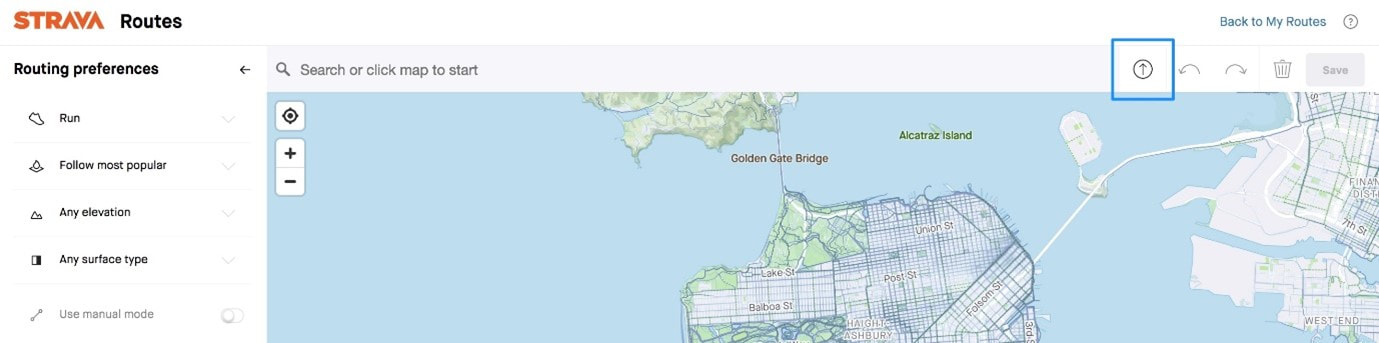
Upload Route Maps to Strava
If you have a 'Routes' account on Strava, you can create a Strava route from the GPX files below. To do this follow these instructions:
|
|
|
80 (81) Mile Etape
Total climb ft. Maximum elevation 891 feet. To download a GPX file of this route right click here and select “save link as” or “save target as” |
|
|
70 Mile route
The 70 mile route follows the same route 80 mile route as far as Moreton then it continues back to the start. Total climb 3178 ft. Max elevation 891 ft. To download a GPX file of this route right click here and select “save link as” or “save target as”. |
|
|
|
|
|
35 Mile route
The 35 mile route is less hilly than the longer routes with a maximum elevation of 305 ft. Total climb 1156 ft. Max Elevation 305 ft. To download a GPX file of this route right click here and select “save link as” or “save target as”. |
|
22 Mile route
The 22 mile route is la fairly flat route with maximum elevation of 288 ft. Total climb 803 ft. Max Elevation 288 ft. To download a GPX file of this route right click here and select “save link as” or “save target as”. |
|